Verify before you download
Every conversion shows you each line item next to the source before anything reaches Xactimate. You approve the work, we never ask you to trust a black box.
Antero Trail takes its name from the 4x4 trail that climbs Mount Antero (14,269 feet in Colorado's Sawatch Range). The terrain relief on this page is rendered from the mountain's real survey data, and the photos below are from the trail near the summit.
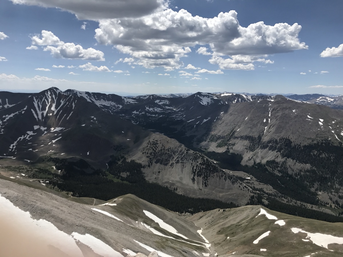
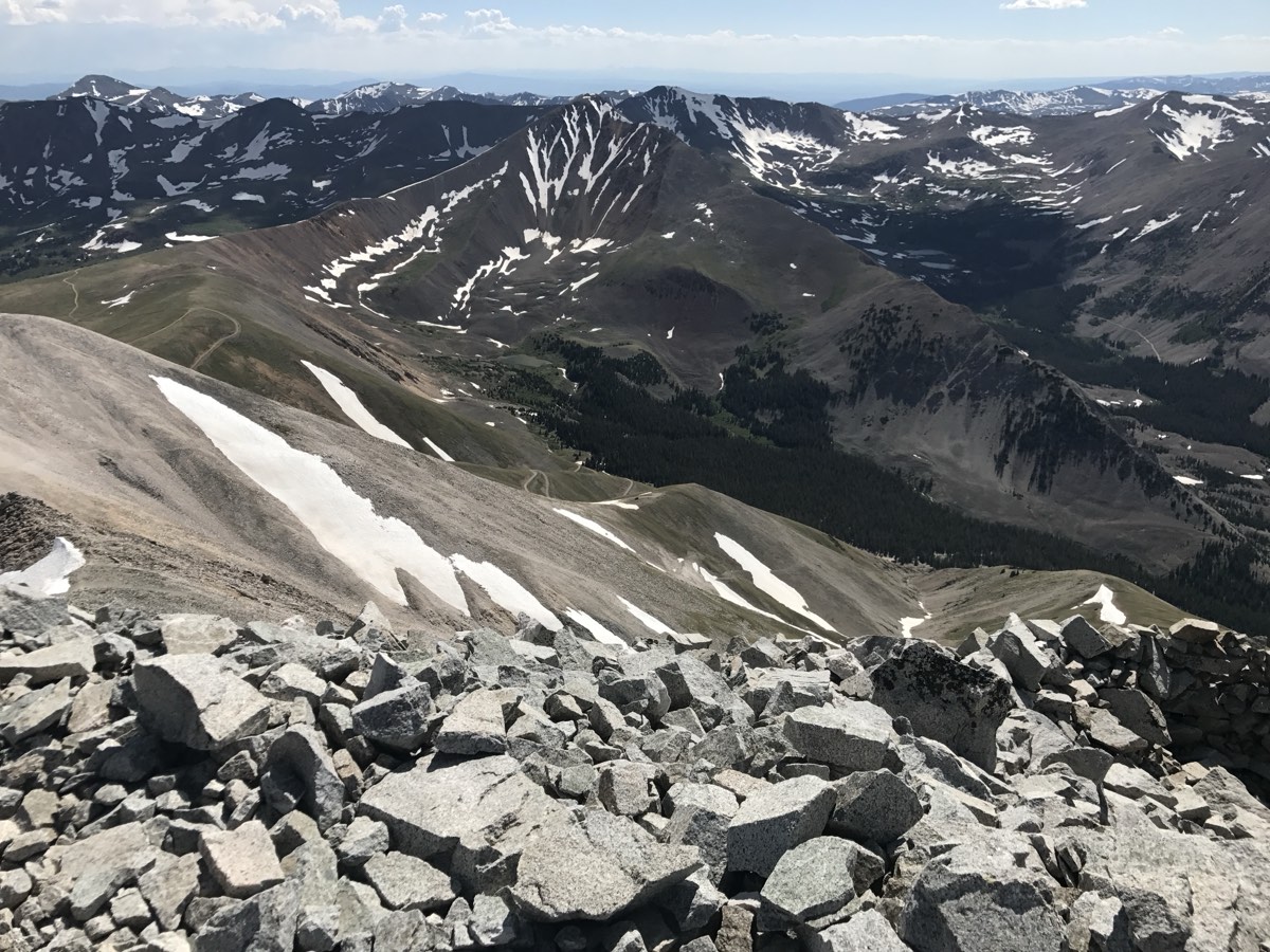
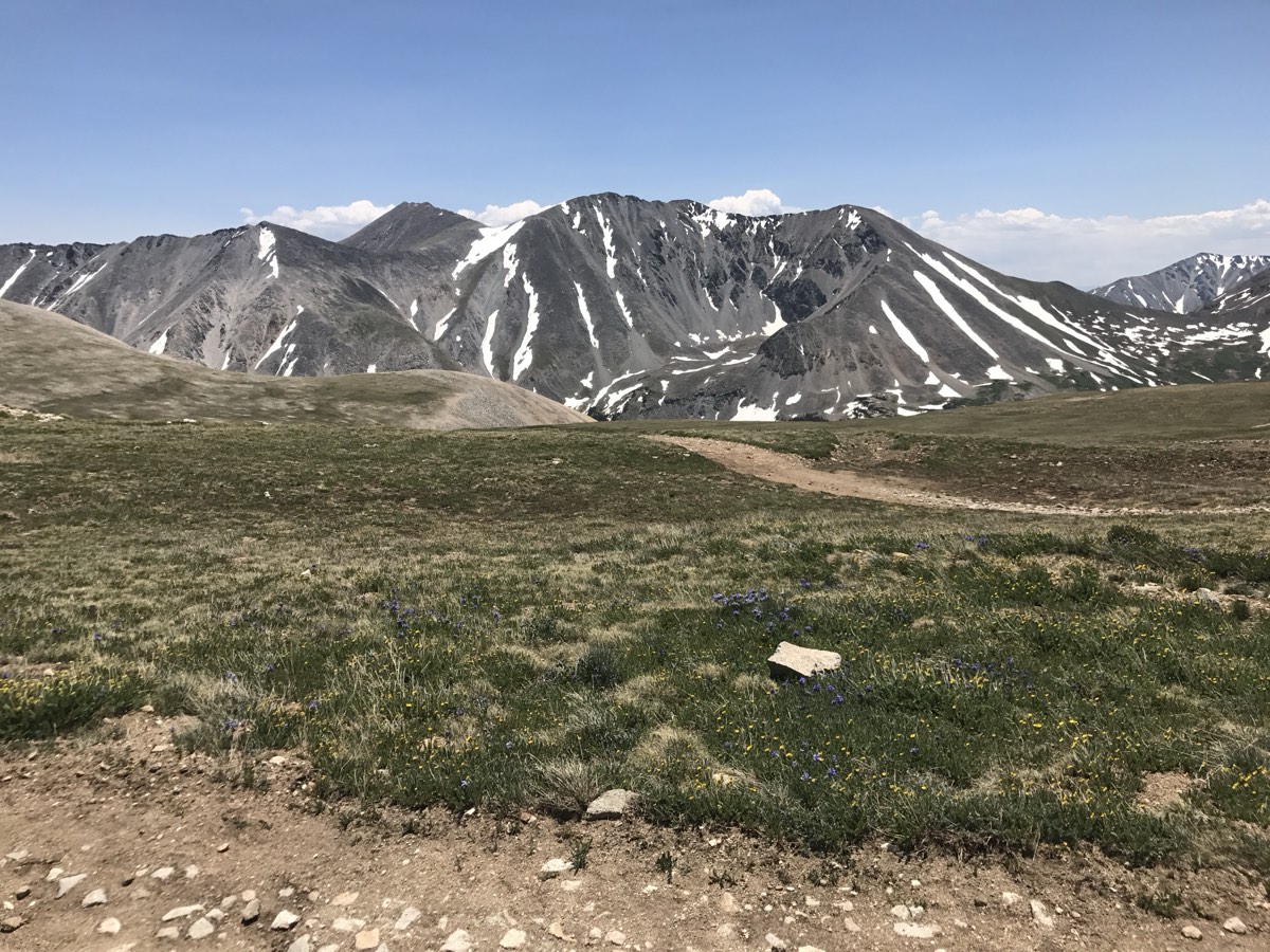
Antero Trail was built by a Level-3 Xactimate-certified adjuster. The problem is familiar to anyone in the trade: an estimate arrives as a PDF, and turning it into a working ESX means re-typing line items, codes, quantities, and notes: an afternoon of careful, error-prone data entry per file. Converting it should take minutes, with every line verifiable before it touches your work. So that's the product.
Every conversion shows you each line item next to the source before anything reaches Xactimate. You approve the work, we never ask you to trust a black box.
Personal identifiers are tokenized before any AI processing, so no PII reaches third-party models. Estimates are used to produce your ESX and nothing else.
No subscription, no monthly minimum, no expiring credits. Buy a pack, convert when the work shows up, and your remaining conversions wait for you.
Upload a PDF, review the line items, download the ESX. Your first conversion is free.